Introduction
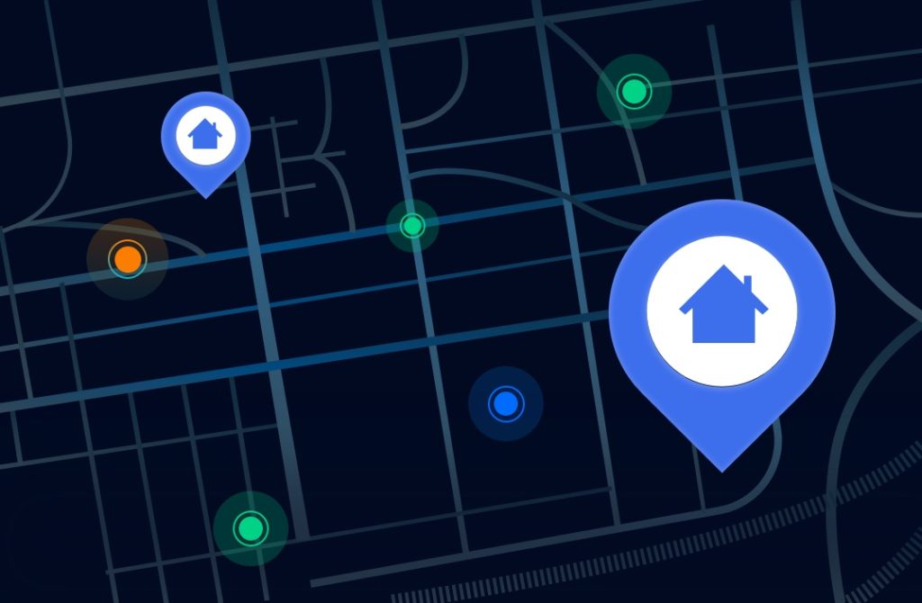
Map monitoring is crucial for businesses and organizations that rely on accurate geolocation data. Whether tracking competitor locations, monitoring delivery routes, or optimizing navigation services, access to real-time and precise map data ensures efficiency and competitiveness.
However, collecting reliable map data can be challenging due to geo-restrictions, IP blocking, and inaccurate regional information. This is where Cherry Proxy provides a powerful solution. By bypassing restrictions and ensuring access to accurate location-based data, Cherry Proxy enables businesses to make informed decisions.
In this article, we will explore the significance of map monitoring, real-world applications, challenges in collecting location data, and how Cherry Proxy helps businesses optimize their mapping strategies.
What Is Map Monitoring?
Map monitoring refers to the process of tracking and analyzing geographical data from various sources, such as online maps, GPS systems, and geographic information systems (GIS). Businesses use map monitoring to enhance decision-making, improve logistics, and optimize customer experiences.
Map monitoring allows organizations to:
- Track real-time location data
- Analyze traffic and route efficiency
- Monitor changes in geographical information
- Detect and prevent fraudulent location-based activities
- Optimize delivery and transportation services
With the increasing reliance on digital maps for navigation, business operations, and location-based marketing, ensuring accurate map data is more important than ever.
Industries That Rely on Map Monitoring
1. E-commerce and Delivery Services
Online retailers and food delivery platforms use map monitoring to optimize delivery routes and ensure timely customer service. Accurate geolocation data helps businesses minimize delays and reduce operational costs.
2. Ride-Sharing and Transportation
Companies like Uber and Lyft rely on real-time location tracking to match drivers with passengers efficiently. By monitoring map data, they ensure accurate pricing, efficient navigation, and enhanced user experiences.
3. Real Estate and Property Management
Real estate platforms utilize map monitoring to provide customers with updated property listings, neighborhood insights, and price trends. Accurate geolocation data allows buyers and renters to make informed decisions.
4. Tourism and Travel
Travel agencies, hotel booking platforms, and navigation apps depend on accurate map data to recommend hotels, attractions, and routes. Real-time location monitoring enhances trip planning and ensures user satisfaction.
5. Smart Cities and Infrastructure Development
Governments and urban planners use map monitoring to manage traffic congestion, plan public transportation routes, and optimize city infrastructure. Accurate data helps create more sustainable and efficient urban environments.
Challenges in Map Monitoring
Despite its benefits, businesses face several challenges when collecting and analyzing location-based data:
1. Geo-Restrictions on Mapping Services
Some map services restrict access to location data based on user IP addresses. This limits businesses from obtaining accurate pricing, availability, or regional mapping information.
2. IP Blocking and Data Scraping Limits
Frequent requests to mapping services can trigger anti-scraping measures, leading to blocked access or inaccurate data retrieval. Many mapping platforms detect automated data collection and restrict usage.
3. Inconsistent Data Across Regions
Location-based services sometimes display different data depending on the user’s region. This makes it difficult for businesses to compare and analyze location trends across different markets.
4. Accuracy and Data Freshness
Outdated or incorrect mapping data can lead to operational inefficiencies. Businesses must ensure they access up-to-date and precise geographical information.
How Cherry Proxy Helps with Map Monitoring
Cherry Proxy provides businesses with reliable solutions for collecting accurate and unrestricted map data. Here’s how it enhances map monitoring:
1. Access Geo-Specific Location Data
Many mapping platforms display different data based on user location. Cherry Proxy allows businesses to bypass these restrictions by using residential and datacenter proxies, enabling access to real-time location-based information from different regions.
2. Avoid IP Blocks and Captchas
Websites often implement security measures to prevent automated data collection. Cherry Proxy’s rotating proxy solutions help businesses collect mapping data without triggering anti-scraping mechanisms, ensuring uninterrupted access.
3. Improve Data Accuracy with Residential Proxies
Residential proxies use real IP addresses, making requests appear as if they are coming from real users. This ensures businesses receive accurate map data that reflects what real users see in different locations.
4. Enable Large-Scale Data Collection
For businesses that require vast amounts of location data, Cherry Proxy supports automated data collection tools like Scrapy, Puppeteer, and Selenium. These integrations help streamline large-scale map monitoring efforts.
5. Secure and Reliable Connections
Unlike free proxies that pose security risks, Cherry Proxy provides encrypted and high-speed connections. Businesses can collect location-based data safely without compromising privacy or performance.
Use Cases for Cherry Proxy in Map Monitoring
Businesses across different industries benefit from Cherry Proxy’s advanced proxy solutions. Some key use cases include:
- E-commerce Platforms: Monitor competitor store locations and delivery zones.
- Logistics Companies: Optimize delivery routes based on real-time traffic conditions.
- Travel Websites: Compare hotel availability and pricing in different regions.
- Ride-Sharing Apps: Ensure accurate fare calculations and ride-matching.
- Market Research Firms: Gather location-based consumer insights for better targeting.
Conclusion
Map monitoring plays a vital role in modern business operations, enabling companies to optimize logistics, enhance customer experiences, and improve decision-making. However, challenges such as geo-restrictions, IP blocking, and data inconsistencies can hinder access to reliable mapping data.
With Cherry Proxy, businesses can overcome these challenges and collect accurate, real-time location data with ease. Whether you operate in e-commerce, transportation, real estate, or any industry that relies on geolocation, Cherry Proxy provides the ideal solution for seamless and anonymous map monitoring.
FAQ
What is a map monitoring?
Map monitoring is tracking and analyzing geographic data to ensure accurate location-based information. It is used for navigation, logistics, traffic analysis, and fraud prevention.
Key Uses:
Real-time tracking for deliveries and transportation.
Traffic analysis to optimize routes.
Geospatial accuracy for business locations.
Fraud detection to prevent unreal location data.
What does map mean in business?
In business, MAP (Minimum Advertised Price) refers to the lowest price that retailers can publicly display for a product as agreed upon by the manufacturer. It helps maintain fair pricing and brand value.
Alternatively, mapping in business can mean:
Market mapping – analyzing competitors and opportunities in a specific industry.
Process mapping – visualizing workflows to improve efficiency.
Customer journey mapping – understanding customer interactions to enhance experience.
What is normal range of MAP pressure?
The normal range of Mean Arterial Pressure (MAP) is typically 70 to 100 mmHg.
A MAP of at least 60 mmHg is required to ensure adequate blood flow to vital organs like the brain, heart, and kidneys.
MAP below 60 mmHg may indicate insufficient blood supply, leading to organ failure.
MAP above 100 mmHg could be a sign of high blood pressure and may increase the risk of stroke or heart disease.